Yangtze River
China's great river corridor
Nations 9

The Geography
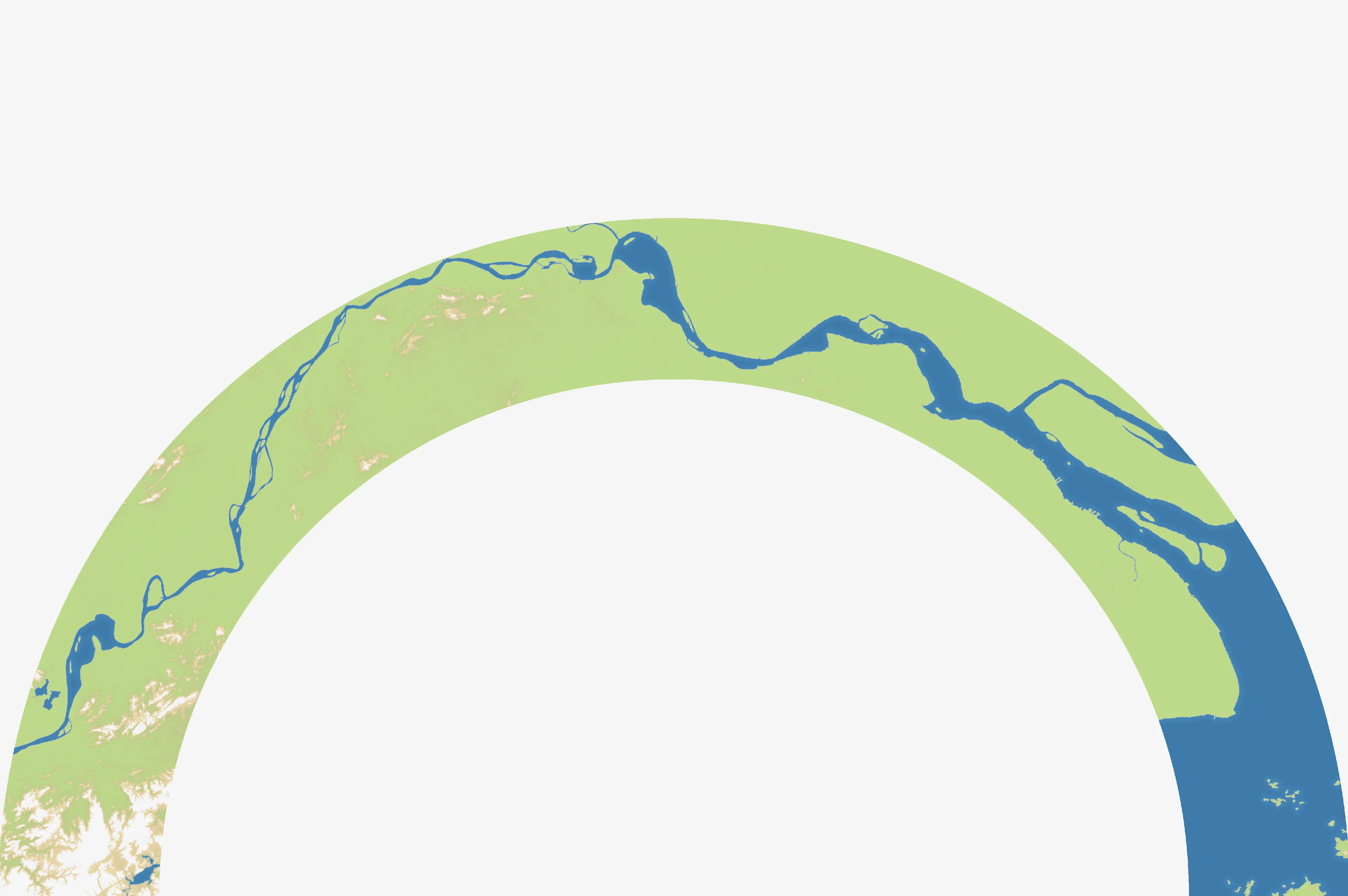
The Yangtze runs from the Tibetan Plateau across China to the East China Sea, linking highlands, interior plains, and one of the world’s great urban-industrial regions. This map focuses on the river’s lower reaches: a broad network of water, islands, and densely settled riverlands around Nanjing, Changzhou, Zhenjiang, Nantong, Taizhou, and Shanghai.
At 3840×2552, Yangtze River has room for several fronts without losing its central identity. Water is the map’s organizing feature. The river and its branches divide approaches, while the coastal edge and islands create alternative routes around the main crossings. Nine named starting positions make the lower-river corridor feel busy from the opening minute.
The History
Ancient–Medieval China — A National Artery
The Yangtze connected the rice-growing south with the political centers of the north. Grain shipments, canals, and river transport made the basin a foundation of Chinese state power long before modern industry.
589–618 — The Grand Canal Links North and South
The Sui dynasty connected earlier waterways into the Grand Canal system, tying the Yangtze basin to northern capitals. The river became part of a larger logistical network rather than an isolated regional waterway.
19th–20th Centuries — Treaty Ports and Industrial Growth
Nanjing, Shanghai, and other lower-Yangtze cities became major centers of trade, administration, and industry. Control of the river corridor increasingly meant control of access between China’s interior and the sea.
21st Century — A River Under Pressure
The Yangtze remains central to transport, agriculture, and manufacturing, while pollution, flooding, habitat loss, and water management have made its protection a national priority. Its importance is now both economic and ecological.
The Battlefield
Terrain Overview
Yangtze River is a map of crossings and circulation. The main waterway breaks up direct expansion, but islands and parallel channels can turn a seemingly safe flank into an exposed bridgehead. Coastal positions offer room to maneuver; inland positions compete for the crossings that connect the whole map.
Best Spawns
- Around Nanjing and the central river crossings — maximum access to the inland network and the best chance to choose an opening direction
- The lower-river belt near Changzhou, Zhenjiang, or Nantong — strong central positions with multiple routes toward the coast and the opposite bank
- Shanghai and the coastal edge — a defensible end of the corridor with access to islands and a clear route into the lower delta
Avoid
- Isolated islands — water can protect you briefly, but it can also lengthen reinforcements and leave you with too few expansion routes
- A single exposed crossing — holding one bridgehead is not enough if an opponent can seal the approaches on both sides
Strategic Insights
Treat the river as a movement system, not simply as a border. Secure crossings before committing to a long push, and use islands or parallel channels to make your opponent defend more than one approach. The strongest position is usually the one that can threaten both banks while keeping its own reinforcement routes short.
Fun Facts
- The Yangtze is the longest river in Asia and the third-longest in the world.
- Shanghai stands at the river’s mouth, where the inland waterway meets the East China Sea.
- The map’s nine named starting positions are concentrated along a single river-and-coast system, making geography itself the main strategic resource.