United States
A continental contest from Pacific to Atlantic
Nations 49















































The Geography
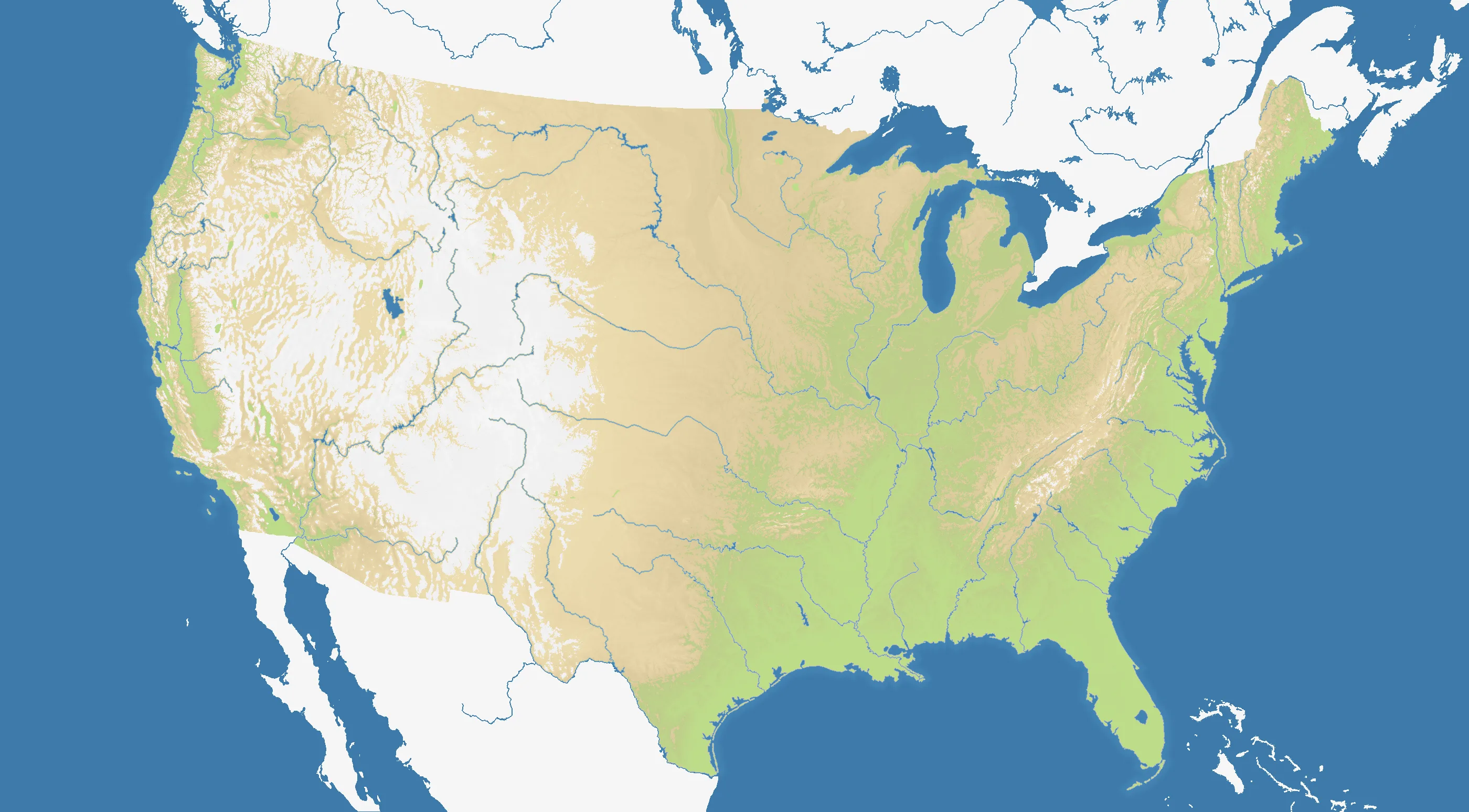
United States maps the contiguous country across a broad 2800×1548 frame, with 49 state-based starts. Pacific mountain chains, the Rockies, Great Plains, Mississippi basin, Great Lakes and Atlantic coast divide a field that is 43% land. Impassable terrain gives the major western ranges and other natural barriers greater tactical weight.
The History
Indigenous nations shaped the continent long before thirteen British colonies declared independence in 1776. Territorial expansion created the continental republic, while the Civil War of 1861–1865 preserved the Union and ended legal slavery; later federal development produced the state geography shown here.
The Battlefield
The east is dense, connected and crowded; the west offers more space but longer routes across difficult terrain. Central states can expand in several directions yet risk enormous borders. Rivers, lakes and mountain barriers create defensible lines, while both oceans support long coastal flanks. Unite one region before crossing the continent, and plan passes through impassable terrain before committing a major push.