Tierra Del Fuego
Stormy channels at the end of the world
Nations 20

The Geography
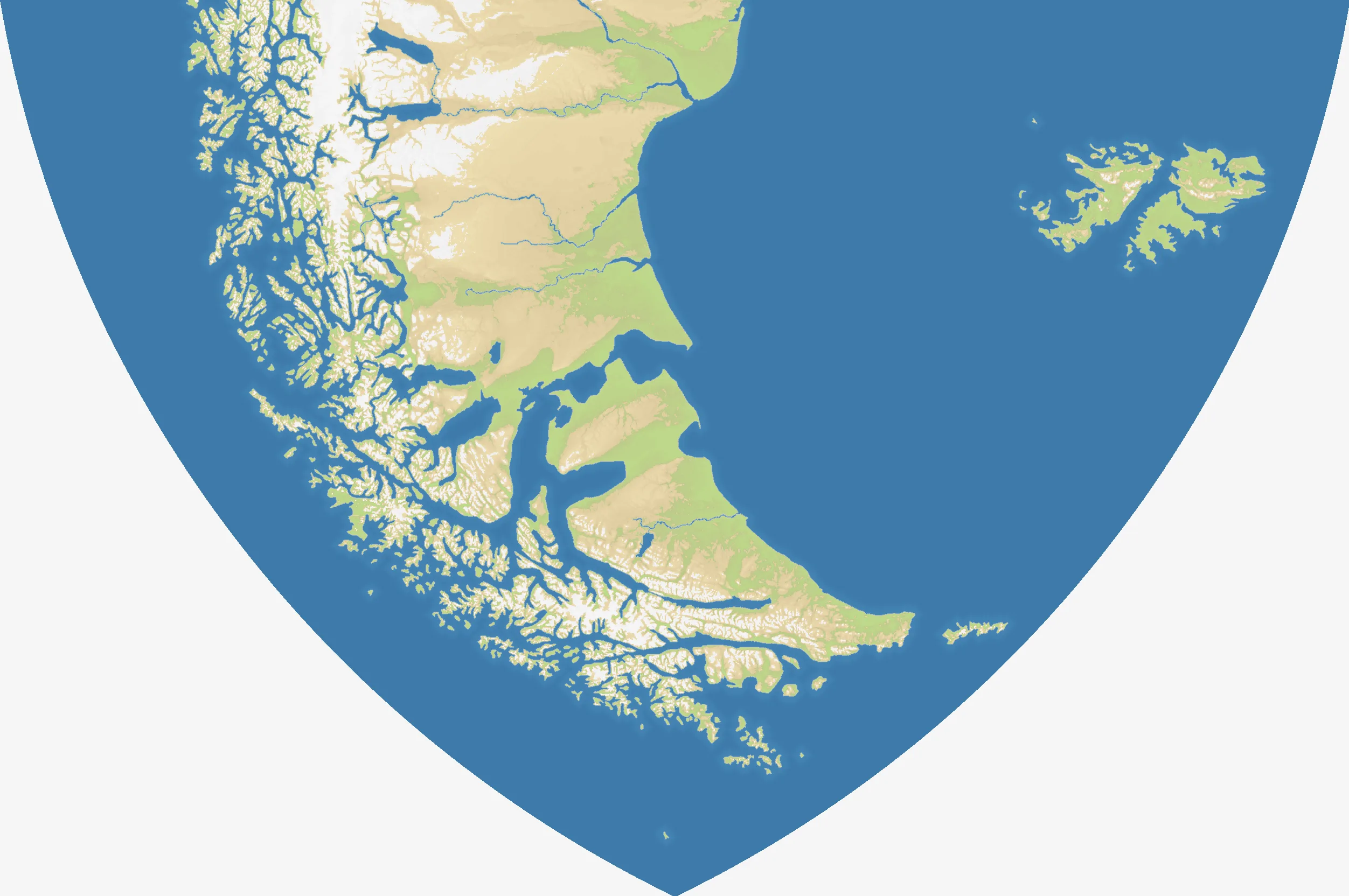
Tierra del Fuego covers southern Patagonia, the Fuegian archipelago and the Falkland Islands in a wide 2504×1664 field. Mountains, glaciers, fjords and island channels produce a map with only 20% land and 20 starts. Impassable high terrain further narrows movement through a landscape already broken by water.
The History
Selk’nam, Yaghan and other Indigenous peoples inhabited the far south before European colonisation. Magellan’s expedition entered the strait in 1520; later Chilean and Argentine settlement divided the main island, while the Falklands remained the subject of a separate sovereignty dispute.
The Battlefield
Coastal corridors and navigable channels matter more than straight-line distance. Southern and western starts are divided by islands and mountains, while the Patagonian mainland offers longer connected routes. The Falklands can consolidate apart but need naval reach to influence the main fight. Use ports to leap between channels, and identify impassable barriers before an advance leaves your army with no useful exit.