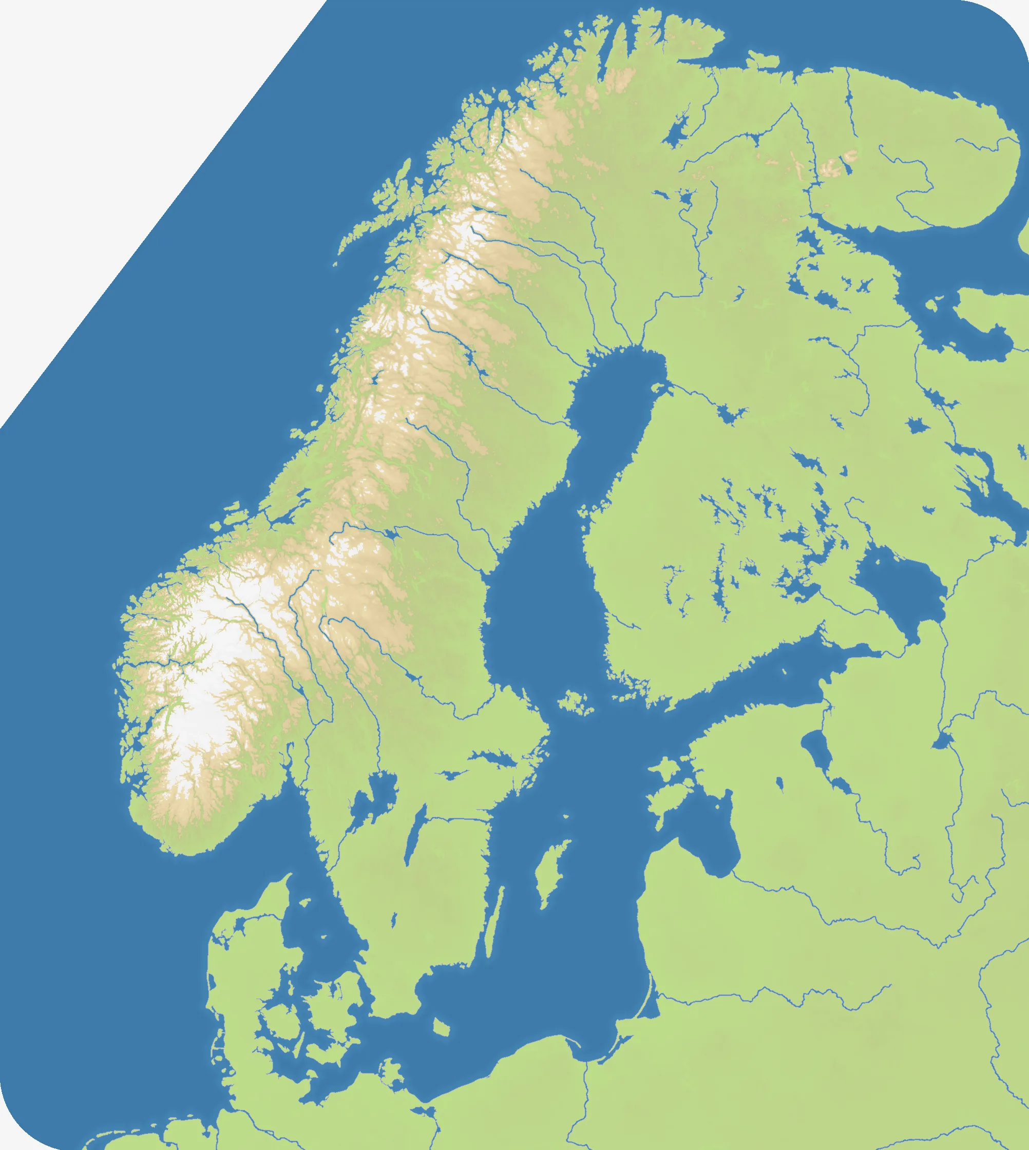
Scandinavia
Fjords, forests and the Baltic crossroads
Nations 24

The Geography
Scandinavia covers Norway, Sweden and Finland together with Denmark, the Baltic states and neighbouring shores. The tall 2004×2240 map is 55% land, with 24 principal starts spread across fjord-cut coasts, northern wilderness and the enclosed Baltic Sea. Long peninsulas and island groups divide routes between the Atlantic, Arctic and continental edges.
The History
Viking-age networks linked the Nordic coasts to Europe and the North Atlantic. Denmark, Norway and Sweden were joined under the Kalmar Union in 1397 before Sweden broke away in 1523; later rivalry and cooperation shaped the modern Nordic and Baltic states.
The Battlefield
Sweden and the Baltic form the connected centre, while Norway’s fjords and the far north create slower, narrower fronts. Denmark controls a natural southern gateway, and islands offer useful but exposed naval footholds. Consolidate one side of the Baltic before crossing it; fighting simultaneously along the Scandinavian spine and across the sea will stretch reinforcements over enormous distances.