Middle East
Empires and kingdoms around desert seas
Nations 27










The Geography
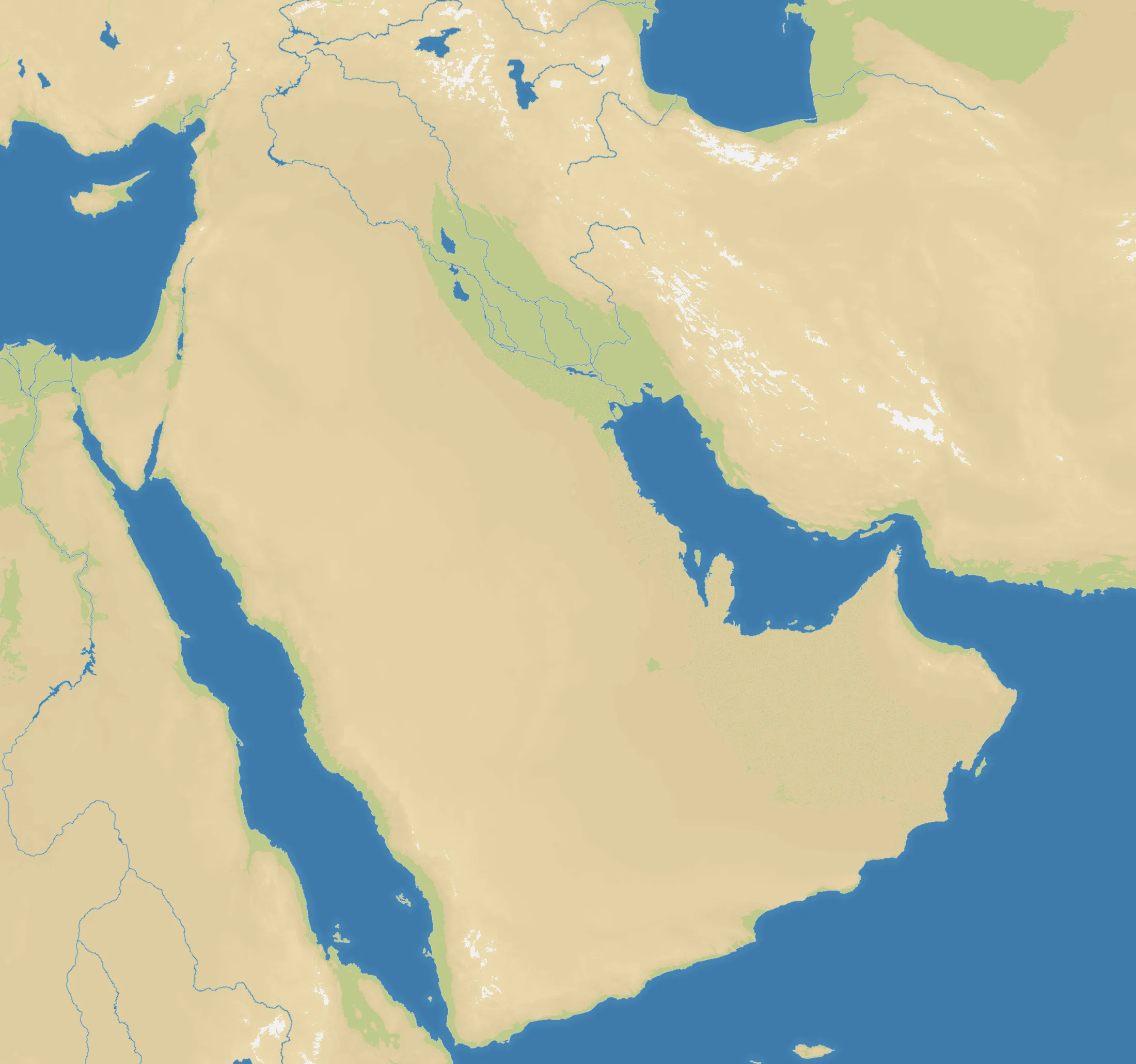
Middle East covers Arabia, the Levant, Egypt, Anatolia, Iran and neighbouring regions in a 2200×2060 frame. The map is strongly land-based at 76%, with 27 starts drawn from the political landscape of the early twentieth century. Deserts dominate the interior, while the Mediterranean, Red Sea, Persian Gulf and Caspian approaches shape the edges.
The History
At the opening of the twentieth century, Ottoman and Qajar power overlapped with emirates, kingdoms and growing European influence—the setting echoed by the map’s factions. The First World War broke the Ottoman order and mandates, new monarchies and later republics redrew much of the region.
The Battlefield
Large connected land areas favour sustained expansion and broad fronts. Maritime chokepoints around Suez, the Gulf and the straits still offer decisive shortcuts, especially against rivals committed inland. Central Arabia has space but long borders; the Levant and Mesopotamia are tighter and more contested. Build depth before pursuing distant capitals, and keep one mobile force for the map’s long desert corridors.