Korea
A narrow peninsula with powerful neighbours
Nations 32
The Geography
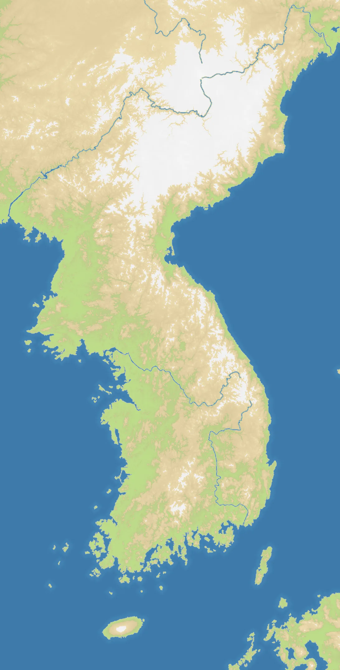
Korea runs from the Manchurian border down the mountainous Korean Peninsula to Jeju, with parts of Kyushu and the Russian Far East at its edges. The tall 1088×2188 map is 32.9% land and 67.1% water, with 32 nations spread across the region. Ridges channel movement north to south, while the Yellow Sea and Sea of Japan expose both flanks.
The History
Korean kingdoms unified much of the peninsula long before the Joseon dynasty ruled from 1392. Japan annexed Korea in 1910; liberation in 1945 was followed by division, and the Korean War of 1950–1953 entrenched the two states that remain on the peninsula.
The Battlefield
The peninsula creates a long central contest where neighbours meet quickly and retreat routes are limited. With 67.1% water, coastal control can bypass crowded land fronts, especially toward Jeju and Japan. Northern starts have several continental exits; southern starts must manage narrower space but gain excellent naval access. Avoid a single stretched column—hold lateral connections and maintain ports on both coasts.