Irish Sea
Three shores contest a narrow sea
Nations 19






The Geography
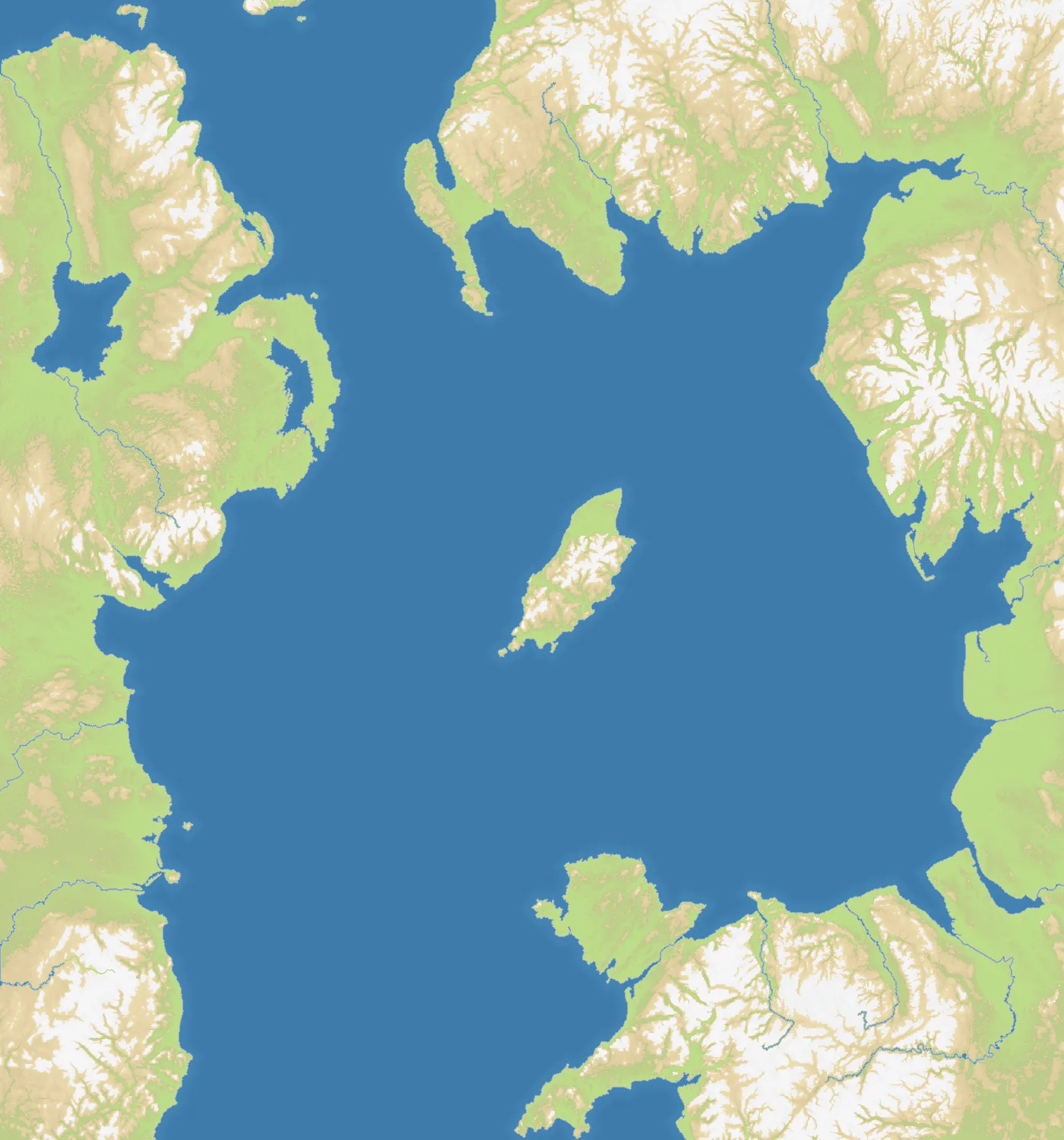
Irish Sea fits Ireland, western Britain and the Isle of Man into a compact 1400×1500 portrait. Bays, peninsulas and the North Channel break up a battlefield that is 47% land and hosts 19 city and regional starts. The central island and opposing coastlines make the sea feel enclosed, but every shoreline remains within striking distance.
The History
The sea has long connected rather than simply separated Ireland, Britain and the Isle of Man. Norse settlements, medieval invasions and later British ports all depended on its routes; steamships and modern ferries reinforced the same short crossings between Dublin, Belfast, Liverpool and western Britain.
The Battlefield
Designed with three-team play in mind, the map creates natural Irish, British and northern approaches without making them perfectly safe. The Isle of Man is central but exposed, while coastal cities can support quick crossings. Control one shore and its ports before fighting for the middle; an early naval commitment without a secure land base invites attacks from both sides.