Indian Subcontinent
From Himalayan walls to open tropical seas
Nations 52
















The Geography
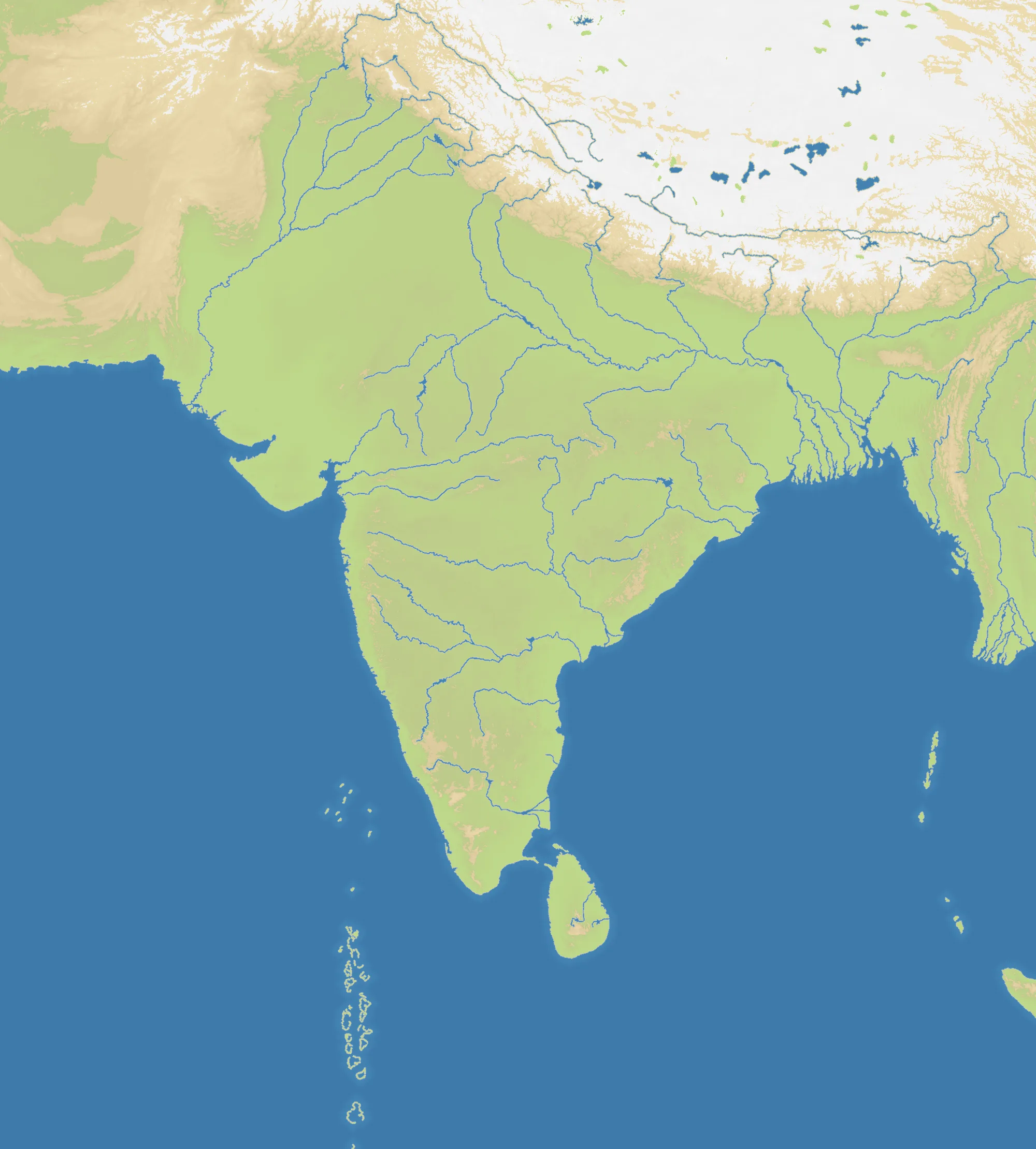
Indian Subcontinent spans the Himalayas and Hindu Kush, the Indus and Ganges plains, the Deccan plateau, Sri Lanka and surrounding islands. Its tall 2000×2220 frame is 48% land and carries 52 national and regional starts. Mountain barriers dominate the north, while long peninsular coasts open toward the Arabian Sea and Bay of Bengal.
The History
The subcontinent supported the Indus civilisation, the Maurya and Gupta empires, powerful regional kingdoms and the Mughal Empire. British rule joined much of the region within the Raj, whose partition in 1947 created independent India and Pakistan amid enormous migration and violence.
The Battlefield
The northern plains form a crowded east-west corridor beneath difficult high ground. Central India offers connected land expansion, while coastal and island starts gain naval reach but can be isolated. The peninsula narrows movement toward the south, making control of central routes especially valuable. Consolidate one basin or coast before trying to bridge the entire subcontinent.