France
A hexagon of rival regions from the Channel to the Mediterranean
Nations 25
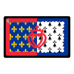
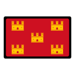
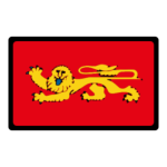
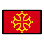



The Geography
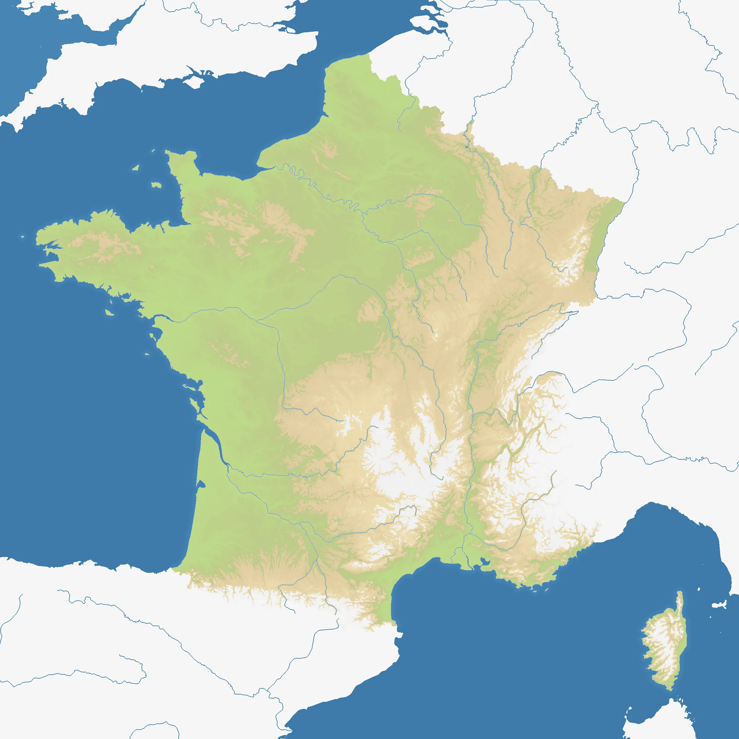
France lays the country’s historic regions across a broad square field. The Channel coast and Brittany open the west, the northern plains lead toward Flanders and Picardy, and the Atlantic basin stretches south toward Aquitaine. Inland, the Loire country and the Île-de-France form a central hinge, while the Massif Central, the Rhône valley and the Alps build a more broken approach to Provence and the Mediterranean. Corsica sits apart in the southeast, with Jersey, Guernsey and Monaco adding small but consequential outposts.
The map’s 25 listed nations turn familiar geography into a dense regional contest. Coastlines create naval avenues, but the interior is connected enough that a successful front can quickly become a threat from several directions. France rewards players who read the whole shape of the country rather than treating each regional border as an isolated battlefield.
The History
France’s regional map reflects layers of older identities: Brittany, Normandy, Burgundy, Aquitaine, Occitania and Provence each grew from distinct historical landscapes and political traditions. The kingdom gradually consolidated these territories, while the French Revolution and later administrative reforms recast them into a more centralized state. The map preserves the older names as a reminder that political unity did not erase geographic difference.
The Battlefield
Terrain Overview
France is a wide, connected arena with several natural organizing lines. The northern and western coasts invite movement by sea; the Loire basin and Île-de-France sit near the middle of the network; and the Alps, Pyrenees and Massif Central make the southeast and southwest more compartmentalized. The Rhône corridor is a particularly important route between the interior and the Mediterranean.
Best Spawns
- Île-de-France and Centre-Val de Loire — central positions with short routes toward most of the map, provided several borders can be watched at once
- Brittany and Aquitaine — western coastal bases with room to develop and access to Atlantic approaches
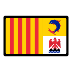
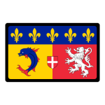
- Rhône-Alpes and Provence-Alpes-Côte d’Azur — southeastern positions that can connect the Alpine interior to Mediterranean operations
Avoid
- Small Channel islands — valuable as forward positions, but easy to isolate if the nearby coast is lost
- The far southeastern corner — strong geographic identity but exposed to pressure from the Rhône valley, the Alps and the Mediterranean
- Long Atlantic salients — expansion down the coast can leave a narrow front and too many crossings to defend
Strategic Insights
France rewards a layered opening. Secure a coherent regional core before reaching for distant coasts, then use the Loire, Rhône and mountain edges to shorten the front. Naval pressure can bypass a crowded land border, but a fleet cannot replace control of the central corridors. Watch the small neighboring territories too: they are easy to dismiss and easy for an opponent to use as a bridgehead.
Fun Facts
- The map includes historical regional names alongside small territories such as Monaco, Jersey and Guernsey.
- Corsica is represented as a separate island nation rather than being folded into the mainland front.
- Nord-Pas-de-Calais appears at the northern edge, linking the French arena to the Flanders approach.