Montreal
An island metropolis at two rivers
Nations 12


The Geography
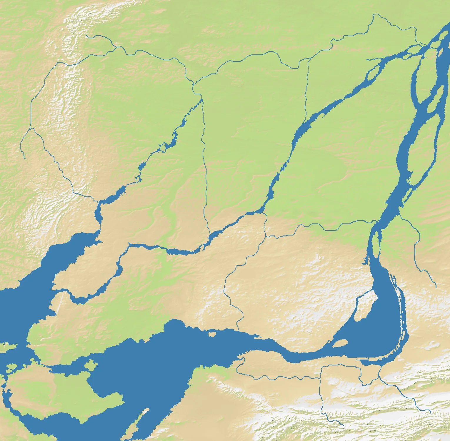
Montreal sits where the St. Lawrence River narrows around the Island of Montreal and where the Ottawa River approaches from the west. That meeting point made it one of the key gateways into the interior of northeastern North America. On the OpenFront Montreal map (1528×1500), land accounts for a hefty 85% of the terrain and water only 15%, making this one of the most land-dominant maps in the atlas despite the obvious importance of rivers.
The island itself is broad and urban, with Mount Royal rising gently near its center, while surrounding channels, islands, and shorelines create natural boundaries rather than open ocean spaces. Unlike island maps such as Hawaii or Japan, Montreal’s water does not fragment the battlefield into separate worlds; instead, it shapes bridges, crossings, and defensible edges within a dense land theater.
That blend is what makes Montreal interesting. It is an island geography, but not an island psychology. The rivers channel trade, invasion, and urban growth, while the surrounding mainland prevents the city from ever feeling fully insulated.
The History
1642 — Ville-Marie Is Founded
French settlers established Ville-Marie, the colony that would become Montreal, as a missionary and trading outpost. Its location offered access to the St. Lawrence system and the interior fur trade, while also placing it at a militarily sensitive frontier.
1760 — British Conquest of New France
During the Seven Years’ War, British forces captured Montreal, effectively ending French rule in Canada. Control of the city meant control of a major communications hub between the Atlantic colonies and the continental interior.
1812 — Gateway in a Borderland War
Montreal was never the scene of a decisive Napoleonic-style battle in the War of 1812, but its river routes and proximity to the U.S. border made it strategically important. Any serious thrust up the St. Lawrence threatened the political and logistical coherence of British Canada.
20th Century — Industrial and Bilingual Metropolis
Montreal grew into Canada’s largest city for much of the modern era, shaped by railways, shipping, immigration, and the coexistence of French and English institutions. The result is a city whose political and cultural importance has always matched its geography.
The Battlefield
Terrain Overview
Montreal is primarily a land contest shaped by river geometry. The island is strong, but its value comes from controlling crossings and preventing mainland powers from pinching it from both sides.
Best Spawns
- Central Montreal Island — best road-equivalent connectivity and quickest access to multiple crossing points
- South shore approaches — strong pressure on the island with room to expand along the St. Lawrence corridor
- West island/Ottawa junction side — excellent leverage over the confluence and the approaches from inland Canada
Avoid
- Narrow riverbank pockets — vulnerable to being trapped against water with too few expansion directions
- Far outer mainland edges — safe at first, but too detached from the decisive crossings around the island core
Strategic Insights
Montreal rewards players who think in bridges rather than beaches. This is not naval warfare; it is positional warfare around water obstacles, where owning the right crossing matters more than owning sheer shoreline length.
Fun Facts
- Mount Royal gave Montreal its name, evolving from Mont Réal or Mont Royal in early French usage
- The island sits near the upstream transition from ocean-going St. Lawrence traffic to the continental river system
- Montreal was Canada’s largest city for roughly a century before Toronto overtook it in population